It took a bit for the group of 6 to get started. We kept having these issues of, "did you bring?" "who has?" and we either had 4 of them or else none of them. I was laughing at the zerns we were taking. By the way, a zern is a word coined by Pat McManus many moons ago which is defined as taking exactly twice as much stuff as you need. My family is at least a 2 zern family (meaning taking four times as much stuff as one needs).
We eventually got on the road with at least a couple of zerns and made it to Dead Horse State Park at about 11pm. I'm sure the people in the campground just loved it when we barreled in and set up our two large tents and blew up air mattresses. I was actually pretty impressed with how quiet we were, especially considering the fact that the wind was whipping and dust and tents and such were blowing everywhere in the dark. The funny thing was that we found the light switch for the covered table in the morning. Gosh, that would have been way helpful.

View of the Campground. Small Trees with little shade so it gets HOT!
A few of us got up and headed down to Dead Horse Point. This really is about the only thing at this state park but it is spectacular. The canyon vista is over a large oxbow of the Colorado River creating a sight to behold. The morning light was pretty good too. You can check out the panoramic pictures here and all my best pictures from the trip.
After a scrumptious dutch oven breakfast pizza and before it got much hotter we broke camp and headed on a 3 hour drive to Mesa Verde. It's not a hard drive but not really exciting either.
One trick about Mesa Verde National Park is that its wise to get your tour tickets a day in advance during the high season. The National Park service has a 3$ fee and caps the number of people per tour for many of the major cliff dwelling sites. We chose Long House for the guided tour because its a lesser known area (i.e., fewer people on the tour) and you can actually go up inside the dwellings (unlike Cliff Palace). We booked the first tour of the next morning and headed off to camp for another great dutch oven meal.

All the flowers were in bloom!
I'll admit, this group I went with are all great cooks and we did NOT go hungry. We even had Dutch oven cheesecake one night. Sadly we weren't hiking seriously so my eating intake didn't equate to my calorie expended. Life goes on!
Long house was a 90 minute tour at the end of Wetherill Mesa. Going on the first tour of the morning had some great advantages. One of them being it was much cooler. The second being you got some good photo ops because there weren't people already in the ruins.
While Ranger Pete, our tour guide, didn't have a lot of answers for me (I don't know why I seem to ask the hard questions always) and I wonder how much of the talk was speculation it was interesting to learn more about these ancient people, how they lived and to actually crawl around in the same area. We also walked to the Step House which is a self guided tour. Between the two of them you get a pretty inclusive idea of the cliff dwellings in that area. As a side note, my friends laughed at me as I needled (ok, maybe harassed is a better term) the ranger at Step house. One of the "cool" items is to see a Navajo star. Apparently the Navajo's came into the area later than the original dwellers and marked several spots by an X on the wall. They were hard to find! I was determined to find one and finally (phew) thanks to another lady we saw it.

Step House
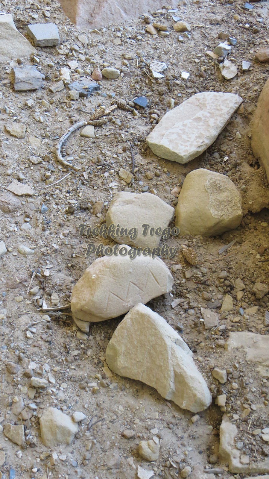
One ancient man's garbage is a modern man's treasure.

The Navajo star is an "X" in the left third center above a white polygon.
We then drove down Chapin Mesa and stopped at the Far View Sites and the Mesa overlook loop to look back into the Cliff Palace area. I really liked the Far View Sites (unmarked left turn going south) because again you walked around the sites and there was a variety of buildings, a tower, and pit houses.

Far View Tower Site
It was then back to camp for some serious rook playing and star gazing with the group. I was soundly beat but I'll blame whomever dealt me bad cards. However, on the up side I can now spot Scorpio in the sky!
It was a fun trip with good people, some educational activities, great food and neat things to see. I would highly recommend it!
Check out my pictures here.

