Goblin Valley, Moki Dugway, Natural Bridges, Gooseneck State Park and Mexican Hat (ya, that was all one day!)
Goblin Valley is so aptly named with the hoodoo type formations making it look very alien like (aka Galaxy Quest)

The Moki Dugway is an 11% grade which has an amazing vista out to the Valley of the Gods.

Natural Bridges has 3 different bridges which can be seen from a short loop drive or you can hike to each of them (or all of them). The shortest hike is to Owachomo.

Gooseneck State Park puts Deadhorse State Park to shame in my opinion. It has lots more switchbacks and a 1000ft drop!

There are 3 of these in a row! Where's the helicopter when you need one to get the full view?
Monument Valley, 4 Corners and Hovenweep
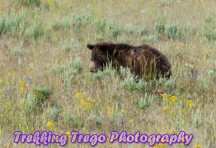
Monument Valley is just amazing. Sadly, it was rainy almost the whole time we were there so you couldn't really grasp the entire grandeur. But, it was still stunning to see (the lightening show was incredible the first night). And, the Navajo Taco's were pretty decent too.

It was really pretty prior to the rain!

How nice of this Navajo Indian to pose for me... or the tour group he was talking too.

Here comes the rain again.

Yes, it was still raining in the morning.

No chance of doing a "lets lay on the ground spread eagle" picture.
Hovenweep is a small, little known national park with 3 different main sites of ancient rock structures from about AD1200. I was really impressed with it. The walk around the Square Tower Group is definitely worth it (but go clockwise!). There aren't a lot of people that visit these sites and its one of the few national parks with no fee!


Mesa Verde, Shiprock and Canyon de Chelly
At Mesa Verde we hit the Spruce Tree House and toured the Cliff Palace prior to rain starting again. We just couldn't escape it! We then drove around Shiprock and down to the northeastern corner of Canyon de Chelly.

Spruce Tree requires no tickets to go and wander around

The view down inside a Kiva


The Cliff Palace
Here's where it really got fun (or not?!). After our second look out we noticed some black clouds rolling in seriously fast. Yes, seriously fast! Before we knew it there was marble size hail and blinding rain. After that subsided all we could do was be in awe at the flashfloods. We headed out to a lookout and saw an amazing display of waterfalls falling down the Canyon de Chelly walls of 1000ft!

Storms a brewing

Its getting closer! (Do you see the theme of this trip?)

Storm has arrived
Canyon de Chelly is truly a cool place to visit with ancient Indian history, cliff dwellings and natural beauty. Sadly, with the flash floods our tour in the bottom of the canyon was cancelled. Maybe next time? We were able to hike to the White House Ruins (the only self guided hike allowed)

Spider Rock, a cool pinnacle rock on the south rim

The White House

Panoramic view. The White House ruins are to the left against the back wall.

The washed out river bottom near Canyon de Chelly canyon entrance.
Zion's
Since we were driving right by it and one of my friends hadn't been to Zion's we figured we might as well swing by for a visit. We did a quick sight seeing loop and also hit Kolob Canyon before heading home.

The Patriarchs

Kolob Canyon

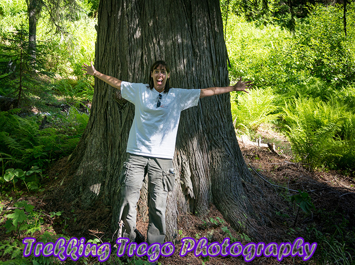
The Gang
Phew! The sights were incredible and although the weather wasn't great (I didn't even get into the frog migration or trying to dry out after being stuck in the storm - a few times) it was fun.
You can find these pictures and more from my trip posted in the NEW gallery until my next post. After that, you can find them under their respective "location" or "type" gallery.


